
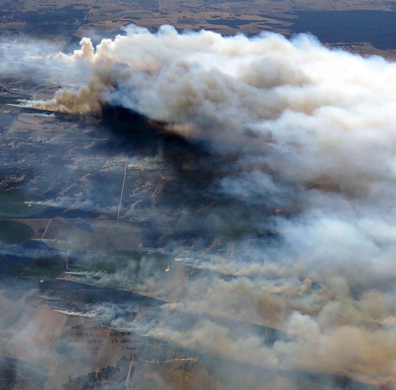
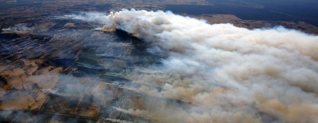
The most recent test of the FireFlight system took place on the 6th January 2018, over the Sherwood Fire in South Australia. The fire eventually burnt 12,000 hectares (30,000 acres) and destroyed six homes. The FireFlight system was on site for almost one and a half hours, acquiring thermal images of the flames through thick smoke.
Since this was a test of the system, it was not possible to provide this specific data to fire agencies in real time. However, since this last test has been completed, the FireFlight system is now fully operational and ready to provide real time fire maps when fires occur.
Please see the full report on the Sherwood Fire here.